2021 Map of Fredericktown
USGS Topo · Published 2021About this map
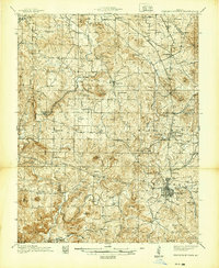
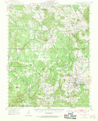
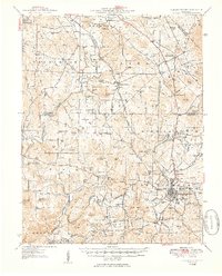
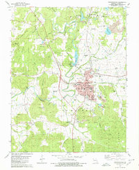
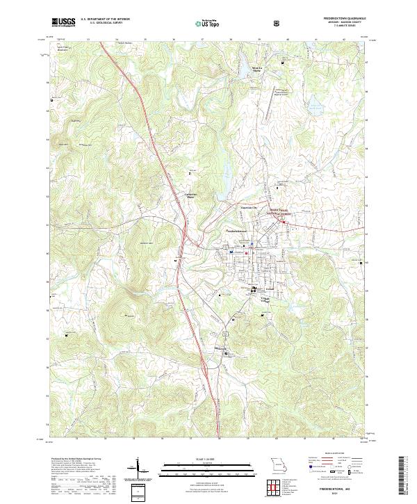
Fredericktown serves as the focal point of this Madison County survey, anchored by the Madison County Courthouse and a dense network of early settlements including Cobalt Village, Junction City, and Millcreek. The landscape is defined by the Little Saint Francis River and its various tributaries like Village Cr and Saline Cr, which drain the eastern edge of the Saint Francois Mountains. To the north, the historic mining legacy of the region is evident at Mine La Motte and the nearby Mine La Motte Dam.
Find a feature on this map
154 named features on this map. Tap any name to fly to it.
Don’t see what you’re looking for? This feature index may not catch every label — zoom into the map to look around manually.
Map Details
Editions of this 2021 Fredericktown Map
This is the sole edition of this map. No revisions or reprints were ever made.
Historical Maps of Mine La Motte Through Time
5 maps found