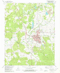
1980 Map of Fredericktown
USGS Topo · Published 1980About this map
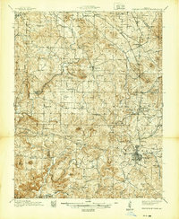
Mine La Motte and the surrounding mineral fields define this landscape in the late 1970s, where extensive tailings and numerous mine dumps reveal a long history of lead and cobalt extraction. To the north, Mine La Motte Lake and Lake La Motte sit adjacent to several workings including the Old Jack Mine and Lindsey Mine. The Little St Francis River winds southward toward the county seat of Fredericktown, passing landmarks like Catherine Place and the Fredericktown Country Club.
Find a feature on this map
73 named features on this map. Tap any name to fly to it.
Don’t see what you’re looking for? This feature index may not catch every label — zoom into the map to look around manually.
Map Details
Editions of this 1980 Fredericktown Map
This is the sole edition of this map. No revisions or reprints were ever made.
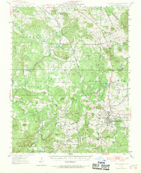
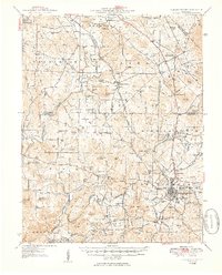
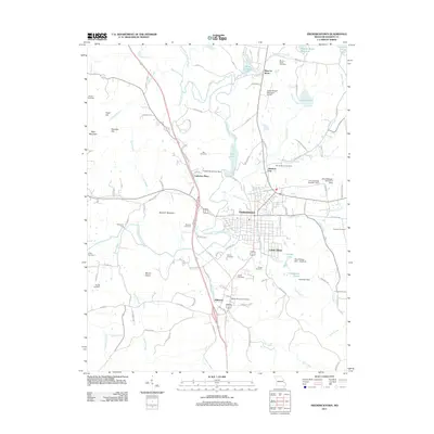
Historical Maps of Fredericktown Through Time
8 maps found