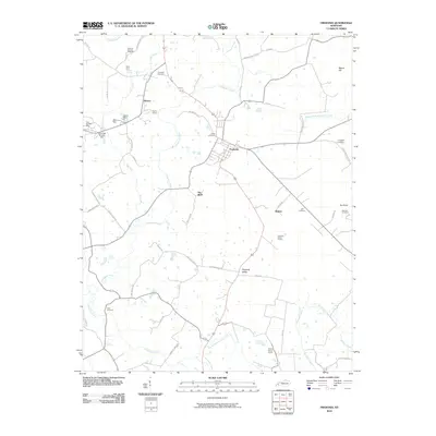
2010 Map of Fredonia
USGS Topo · Published 2010About this map
The town of Fredonia and the nearby community of Mexico anchor this Caldwell County landscape, which is defined by a dense network of watercourses and mineral extraction sites. The region's industrial character is clear through the presence of the Penn Salt Fluorite Mill and several extraction points like the King Mine, Haffaw Mine, and Pigmy Mines. These features, along with the Fredonia Valley Quarry, suggest an economy long tied to the subsurface resources of western Kentucky.
Find a feature on this map
57 named features on this map. Tap any name to fly to it.
Don’t see what you’re looking for? This feature index may not catch every label — zoom into the map to look around manually.
Map Details
Editions of this 2010 Fredonia Map
This is the sole edition of this map. No revisions or reprints were ever made.
Other maps of this area

1908 · Princeton
USGS Topo · 1:62,500

1909 · Providence
USGS Topo · 1:62,500

1910 · Princeton
USGS Topo · 1:62,500

1916 · Fords Ferry
USGS Topo · 1:62,500

1921 · Fords Ferry
USGS Topo · 1:48,000

1925 · Cave In Rock
USGS Topo · 1:62,500

1928 · Eddyville
USGS Topo · 1:48,000

1931 · Eddyville
USGS Topo · 1:62,500

1936 · Eddyville
USGS Topo · 1:48,000

1936 · Grand Rivers
USGS Topo · 1:24,000