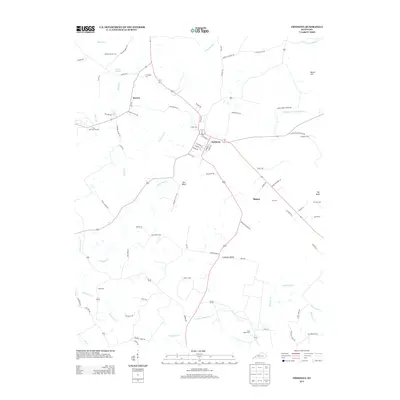
2013 Map of Fredonia
USGS Topo · Published 2013About this map
Fredonia serves as the central hub for this portion of western Kentucky, situated at the junction of several key regional routes and overlooking the broad Fredonia Valley. The landscape is defined by the winding course of Livingston Cr and its many tributaries, including Mills Bluff Cr and Skinframe Cr. Industrial history is represented by the Penn Salt Fluorite Mill near the community of Mexico, reflecting the area's geological importance in the fluorspar district.
Find a feature on this map
84 named features on this map. Tap any name to fly to it.
Don’t see what you’re looking for? This feature index may not catch every label — zoom into the map to look around manually.
Map Details
Editions of this 2013 Fredonia Map
This is the sole edition of this map. No revisions or reprints were ever made.
Other maps of this area

1908 · Princeton
USGS Topo · 1:62,500

1909 · Providence
USGS Topo · 1:62,500

1910 · Princeton
USGS Topo · 1:62,500

1916 · Fords Ferry
USGS Topo · 1:62,500

1921 · Fords Ferry
USGS Topo · 1:48,000

1925 · Cave In Rock
USGS Topo · 1:62,500

1928 · Eddyville
USGS Topo · 1:48,000

1931 · Eddyville
USGS Topo · 1:62,500

1936 · Eddyville
USGS Topo · 1:48,000

1936 · Grand Rivers
USGS Topo · 1:24,000