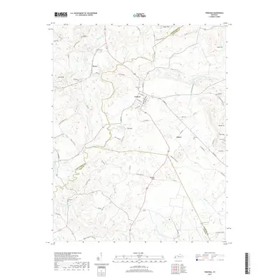
2019 Map of Fredonia
USGS Topo · Published 2019About this map
Fredonia serves as the central hub of this West Kentucky landscape, where the borders of Caldwell, Crittenden, and Lyon counties converge. The terrain is defined by the broad Fredonia Valley and significant elevations like Whitt Bluff and Stegar Bluff, while numerous small cemeteries such as Sulphur Springs Cem, Crider Cem, and Cobb Cem provide critical touchstones for genealogical research. The drainage patterns of Livingston Cr and Skinframe Cr illustrate the hydrological character of the region, supporting small rural settlements like Mexico and Bakers. This modern survey details a complex network of country roads including Mexico Rd and Crayne Cemetery Rd, showing how modern access routes still follow the historical footprints of earlier family-named landmarks and local homesteads.
Find a feature on this map
82 named features on this map. Tap any name to fly to it.
Don’t see what you’re looking for? This feature index may not catch every label — zoom into the map to look around manually.
Map Details
Editions of this 2019 Fredonia Map
This is the sole edition of this map. No revisions or reprints were ever made.
Other maps of this area

1908 · Princeton
USGS Topo · 1:62,500

1909 · Providence
USGS Topo · 1:62,500

1910 · Princeton
USGS Topo · 1:62,500

1916 · Fords Ferry
USGS Topo · 1:62,500

1921 · Fords Ferry
USGS Topo · 1:48,000

1925 · Cave In Rock
USGS Topo · 1:62,500

1928 · Eddyville
USGS Topo · 1:48,000

1931 · Eddyville
USGS Topo · 1:62,500

1936 · Eddyville
USGS Topo · 1:48,000

1936 · Grand Rivers
USGS Topo · 1:24,000