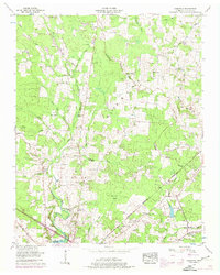
1956 Map of Fredonia
USGS Topo · Published 1974About this map
The Duck River meanders through the western half of this Coffee County landscape, defining a rural topography marked by the Tennessee Valley Divide and the rugged contours of Flat Mountain. This mid-century record documents a network of small farming settlements and crossroads communities like Forest Mill, New Union, and Strauss Mill. The area's social fabric is visible through numerous family-named landmarks and local institutions, including Lumley Stand Ch and the Goose Pond Sch, along with many small burial grounds such as Ogles Cem and Walker Cem.
Find a feature on this map
53 named features on this map. Tap any name to fly to it.
Don’t see what you’re looking for? This feature index may not catch every label — zoom into the map to look around manually.
Map Details
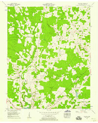
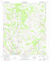
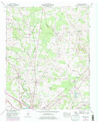
Editions of this 1956 Fredonia Map
4 editions found
Other maps of this area

1893 · Mc Minnville
USGS Topo · 1:125,000

1895 · Mc Minnville
USGS Topo · 1:125,000

1895 · Sewanee
USGS Topo · 1:125,000

1913 · Hollow Springs
USGS Topo · 1:62,500

1936 · Ovoca
USGS Topo · 1:24,000

1936 · Fredonia
USGS Topo · 1:24,000

1936 · Manchester
USGS Topo · 1:24,000

1936 · Beech Grove
USGS Topo · 1:24,000

1936 · Petty Gap
USGS Topo · 1:24,000

1936 · Noah
USGS Topo · 1:24,000