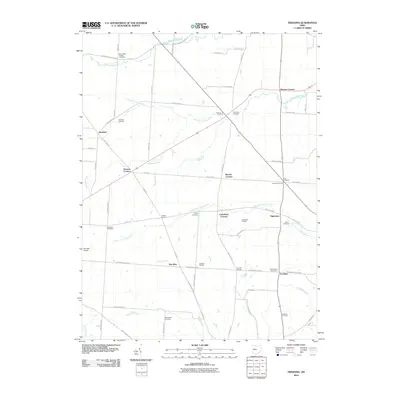
2010 Map of Fredonia
USGS Topo · Published 2010About this map
Otter Fork Licking River and several of its major tributaries, including the Lake Fork Licking River and Clear Fork Licking River, define the agricultural landscape of this corner of Licking County. The area is characterized by a high density of named crossroads and junctions, such as Cokesbury Corners, Decrow Corners, and Pattons Corners, suggesting a long-standing network of family farms and local commerce. This rural character is further emphasized by the presence of numerous small burial grounds, ranging from the Old Fredonia Cemetery to the Hancock Cemetery. In the community of Highwater, the Highwater Orchard stands as a notable landmark of local land use, while Hillcrest Airport provides a modern point of navigation amid the traditional grid of township roads like Loudon Street Rd and Lafayette Rd.
Find a feature on this map
65 named features on this map. Tap any name to fly to it.
Don’t see what you’re looking for? This feature index may not catch every label — zoom into the map to look around manually.
Map Details
Editions of this 2010 Fredonia Map
This is the sole edition of this map. No revisions or reprints were ever made.
Other maps of this area

1908 · Granville
USGS Topo · 1:62,500

1909 · Newark
USGS Topo · 1:62,500

1910 · Granville
USGS Topo · 1:62,500

1912 · Gambier
USGS Topo · 1:62,500

1914 · Gambier
USGS Topo · 1:62,500

1915 · Fredericktown
USGS Topo · 1:62,500

1943 · Gambier
USGS Topo · 1:62,500

1943 · Fredericktown
USGS Topo · 1:62,500

1950 · Marion
USGS Topo · 1:250,000

1961 · Newark
USGS Topo · 1:24,000