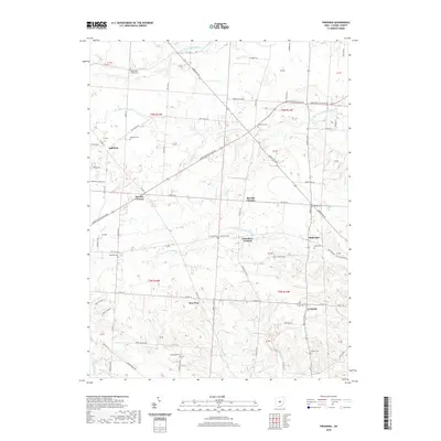
2019 Map of Fredonia
USGS Topo · Published 2019About this map
Fredonia and Highwater anchor this Licking County landscape, where the headwaters of the Licking River system carve through the terrain. The drainage patterns of the Otter Fork, Lake Fork, and Clear Fork converge here, dictating the placement of early crossroads settlements like Decrow Corners, Barrick Corners, and Cokesbury Corners. For those tracing local history, the map preserves the exact locations of numerous small burying grounds, including the Old Fredonia Cemetery and the Moorehead Cemetery. The road network, comprising routes like Johnstown-Utica Road and Marion Road, follows the natural contours between creek valleys, connecting long-established rural hamlets such as Appleton and New Way that have defined the character of this agricultural region for generations.
Find a feature on this map
79 named features on this map. Tap any name to fly to it.
Don’t see what you’re looking for? This feature index may not catch every label — zoom into the map to look around manually.
Map Details
Editions of this 2019 Fredonia Map
This is the sole edition of this map. No revisions or reprints were ever made.
Other maps of this area

1908 · Granville
USGS Topo · 1:62,500

1909 · Newark
USGS Topo · 1:62,500

1910 · Granville
USGS Topo · 1:62,500

1912 · Gambier
USGS Topo · 1:62,500

1914 · Gambier
USGS Topo · 1:62,500

1915 · Fredericktown
USGS Topo · 1:62,500

1943 · Gambier
USGS Topo · 1:62,500

1943 · Fredericktown
USGS Topo · 1:62,500

1950 · Marion
USGS Topo · 1:250,000

1961 · Newark
USGS Topo · 1:24,000