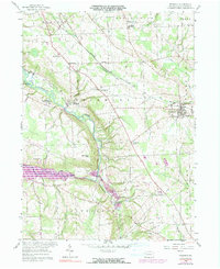
1958 Map of Fredonia
USGS Topo · Published 1991About this map
Fredonia serves as a central hub in this Mercer County landscape, where the Bessemer and Lake Erie railroad tracks cut a diagonal path through the countryside. The map documents a rural society built around local institutions, featuring scattered education and worship centers such as Reichard Sch and St Johns Ch. The southern portion of the sheet is dominated by the Shenango River Reservoir, which has significantly altered the river valley around the community of Big Bend.
Find a feature on this map
38 named features on this map. Tap any name to fly to it.
Don’t see what you’re looking for? This feature index may not catch every label — zoom into the map to look around manually.
Map Details
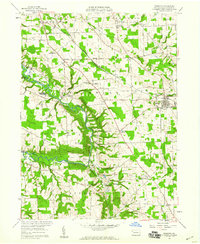
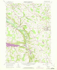
Editions of this 1958 Fredonia Map
3 editions found
Other maps of this area

1905 · Neshannock
USGS Topo · 1:62,500

1907 · Neshannock
USGS Topo · 1:62,500

1908 · Shenango
USGS Topo · 1:62,500

1911 · Stoneboro
USGS Topo · 1:62,500

1913 · Stoneboro
USGS Topo · 1:62,500

1913 · Mercer
USGS Topo · 1:62,500

1939 · Mercer
USGS Topo · 1:62,500

1943 · Mercer
USGS Topo · 1:62,500

1943 · Stoneboro
USGS Topo · 1:62,500

1950 · Cleveland
USGS Topo · 1:250,000
Featured Places
- Fairview Township, PA
- Fredonia, PA
- New Hamburg, Delaware Township
- Coolspring Township, PA
- Perry Township, PA