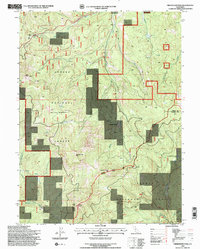
1995 Map of Fredonyer Pass
USGS Topo · Published 1997About this map
Lassen National Forest and Plumas National Forest meet in this high-altitude landscape, where the Sierra Nevada and Cascade ranges converge. The topography is defined by significant summits such as Coyote Peak and Indicator Peak, with the notable Fradonyer Pass serving as a key corridor through the high country. The map captures a transition in land use, showing established family holdings like Stephens Ranch alongside industrial and safety markers such as a Quarry, a Radio Repeater, and a high-elevation Heliport.
Find a feature on this map
34 named features on this map. Tap any name to fly to it.
Don’t see what you’re looking for? This feature index may not catch every label — zoom into the map to look around manually.
Map Details
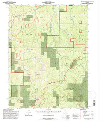
Editions of this 1995 Fredonyer Pass Map
2 editions found
Other maps of this area

1886 · Honey Lake
USGS Topo · 1:250,000

1891 · Honey Lake
USGS Topo · 1:250,000

1893 · Honey Lake
USGS Topo · 1:250,000

1950 · Kettle Rock
USGS Topo · 1:62,500

1950 · Greenville
USGS Topo · 1:62,500

1954 · Susanville
USGS Topo · 1:62,500

1955 · Westwood
USGS Topo · 1:62,500

1955 · Westwood
USGS Topo · 1:250,000

1958 · Westwood
USGS Topo · 1:250,000

1959 · Westwood
USGS Topo · 1:250,000