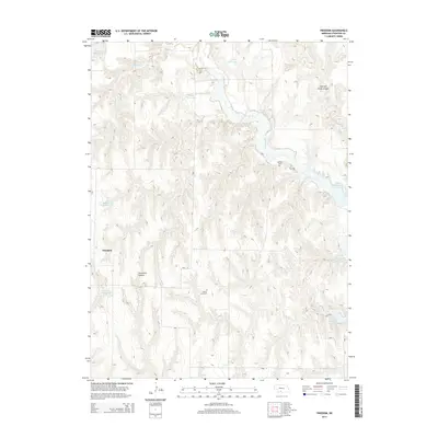
2014 Map of Freedom
USGS Topo · Published 2014About this map
Freedom anchors this portion of Frontier County, situated within a landscape defined by an intricate network of waterways and canyons. The geography is dominated by the flow of Medicine Cr and the presence of Harry Strunk Lake, alongside numerous specialized water management features like Medicine Cr Reservoir 160 and Zysset Reservoir. These reservoirs suggest a managed agricultural environment, where water security is paramount to the local economy.
Find a feature on this map
17 named features on this map. Tap any name to fly to it.
Don’t see what you’re looking for? This feature index may not catch every label — zoom into the map to look around manually.
Map Details
Editions of this 2014 Freedom Map
This is the sole edition of this map. No revisions or reprints were ever made.
Other maps of this area

1902 · Gothenburg
USGS Topo · 1:125,000

1954 · McCook
USGS Topo · 1:250,000

1956 · Freedom
USGS Topo · 1:24,000

1956 · Cambridge
USGS Topo · 1:24,000

1956 · Medicine Creek Dam
USGS Topo · 1:24,000

1956 · Stockville
USGS Topo · 1:24,000

1956 · Bartley NW
USGS Topo · 1:24,000

1956 · Bartley
USGS Topo · 1:24,000

1956 · Stockville SE
USGS Topo · 1:24,000

1957 · McCook
USGS Topo · 1:250,000