
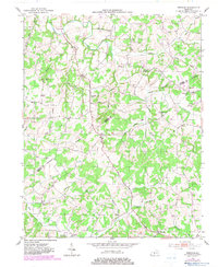
1953 Map of Freedom
USGS Topo · Published 1954About this map
The Barren Co Monroe Co Boundary bisects this mid-century survey, cutting through a landscape of winding watercourses and small rural communities. The settlement of Freedom sits centrally along the north-south road, serving as a local hub near Mount Hermon. The terrain is defined by the drainages of Skaggs Creek and Peter Creek, where the placement of numerous schools and churches suggests a decentralized but active social geography. Educational landmarks like Lyons Sch and Bethlehem Sch appear alongside family-named cemeteries such as Simmons Cem and Bowles Cem, providing essential data for genealogical research.
Find a feature on this map
36 named features on this map. Tap any name to fly to it.
Don’t see what you’re looking for? This feature index may not catch every label — zoom into the map to look around manually.
Map Details
Editions of this 1953 Freedom Map
2 editions found
Other maps of this area

1929 · Tompkinsville
USGS Topo · 1:62,500

1931 · Red Boiling Springs
USGS Topo · 1:62,500

1953 · Tracy
USGS Topo · 1:24,000

1953 · Sulphur Lick
USGS Topo · 1:24,000

1953 · Temple Hill
USGS Topo · 1:24,000

1953 · Glasgow South
USGS Topo · 1:24,000

1953 · Summer Shade
USGS Topo · 1:24,000

1954 · Fountain Run
USGS Topo · 1:24,000

1954 · Gamaliel
USGS Topo · 1:24,000

1954 · Tompkinsville
USGS Topo · 1:24,000