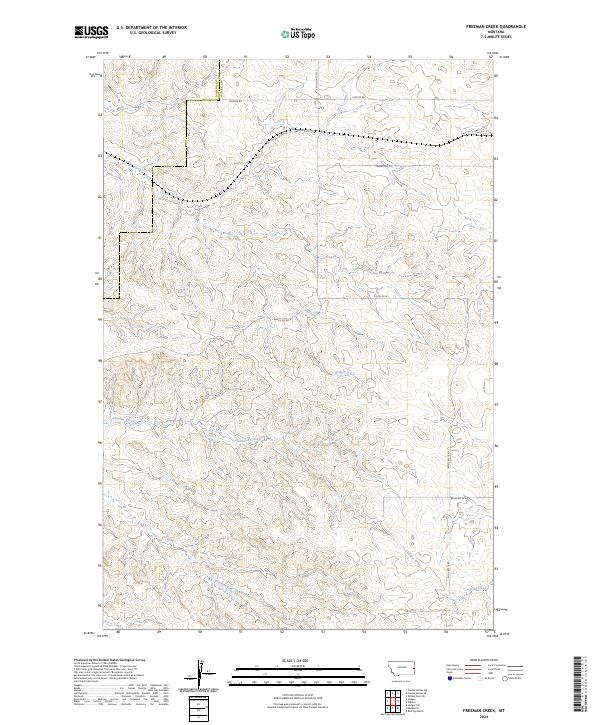
2024 Map of Freeman Creek
USGS Topo · Published 2024About this map
Hodges Creek and Glendive Creek carve a network of drainage patterns across this section of eastern Montana, where the terrain transitions across the Dawson and Wibaux County line. The landscape is defined by an intricate series of coulees and ridges, evidenced by the dense contour lines that illustrate the elevation changes between the creek beds and the high points near Anvil Butte Rd and Baird Butte Rd. Sparse human infrastructure is limited to a grid of rural tracks and ranch roads, such as Hodges Rd and Beaver Hill Rd, which follow the natural contours of the land to connect remote homesteads. The hydrography is particularly detailed, showing the seasonal flow of Freeman Creek and Spring Creek as they feed into the larger Glendive Creek system, providing a clear picture of the water resources essential for the region's ranching history.
Find a feature on this map
19 named features on this map. Tap any name to fly to it.
Don’t see what you’re looking for? This feature index may not catch every label — zoom into the map to look around manually.
Map Details
Editions of this 2024 Freeman Creek Map
This is the sole edition of this map. No revisions or reprints were ever made.
Other maps of this area

1909 · Glendive
USGS Topo · 1:250,000

1953 · Miles City
USGS Topo · 1:250,000

1954 · Glendive
USGS Topo · 1:250,000

1957 · Miles City
USGS Topo · 1:250,000

1957 · Glendive
USGS Topo · 1:250,000

1958 · Miles City
USGS Topo · 1:250,000

1958 · Glendive
USGS Topo · 1:250,000

1981 · Glendive
USGS Topo · 1:100,000

1981 · Wibaux
USGS Topo · 1:100,000
1982 · Hodges SE
USGS Topo · 1:24,000