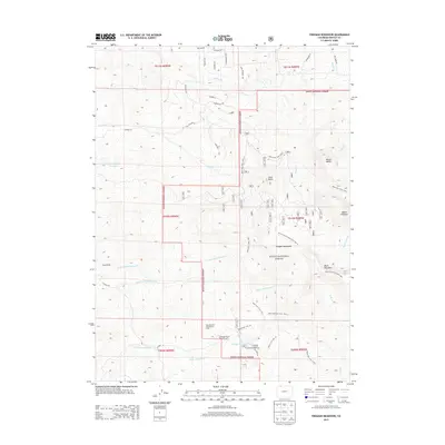
2013 Map of Freeman Reservoir
USGS Topo · Published 2013About this map
Freeman Reservoir serves as a central landmark in this high-altitude landscape of northern Colorado, situated within the expansive Routt National Forest. The map documents a rugged recreational and wilderness corridor where the Elkhead Mountains rise to prominent summits such as Mount Welba and Mount Oliphant. Notable for its developed sites, the area includes the John Sherman Organization Camp, Freeman Campground, and Freeman Picnic Ground, indicating its importance as a hub for organized mountain activity.
Find a feature on this map
83 named features on this map. Tap any name to fly to it.
Don’t see what you’re looking for? This feature index may not catch every label — zoom into the map to look around manually.
Map Details
Editions of this 2013 Freeman Reservoir Map
This is the sole edition of this map. No revisions or reprints were ever made.
Other maps of this area

1916 · Craig
USGS Topo · 1:125,000

1923 · Elkhead Creek
USGS Topo · 1:62,500

1924 · Elkhead Creek
USGS Topo · 1:62,500

1954 · Craig
USGS Topo · 1:250,000

1957 · Craig
USGS Topo · 1:250,000

1958 · Craig
USGS Topo · 1:250,000

1960 · Craig
USGS Topo · 1:250,000

1962 · Craig
USGS Topo · 1:250,000

1964 · Craig
USGS Topo · 1:250,000

1965 · Craig
USGS Topo · 1:250,000