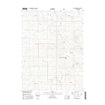
2016 Map of Freeman Reservoir
USGS Topo · Published 2016About this map
Routt National Forest dominates this section of Northwest Colorado, where the high ridges of the Elkhead Mountains rise above the drainage basins of Fourmile Cr and the N Fork Fortification Cr. The landscape is defined by its significant peaks, including Mt Welba, Mt Oliphant, and Black Mtn, providing a clear view of the topographical heights that steer the region's hydrology. Water management and conservation are central to the area's layout, anchored by the Freeman Reservoir and Martin Cull Reservoir.
Find a feature on this map
48 named features on this map. Tap any name to fly to it.
Don’t see what you’re looking for? This feature index may not catch every label — zoom into the map to look around manually.
Map Details
Editions of this 2016 Freeman Reservoir Map
This is the sole edition of this map. No revisions or reprints were ever made.
Other maps of this area

1916 · Craig
USGS Topo · 1:125,000

1923 · Elkhead Creek
USGS Topo · 1:62,500

1924 · Elkhead Creek
USGS Topo · 1:62,500

1954 · Craig
USGS Topo · 1:250,000

1957 · Craig
USGS Topo · 1:250,000

1958 · Craig
USGS Topo · 1:250,000

1960 · Craig
USGS Topo · 1:250,000

1962 · Craig
USGS Topo · 1:250,000

1964 · Craig
USGS Topo · 1:250,000

1965 · Craig
USGS Topo · 1:250,000