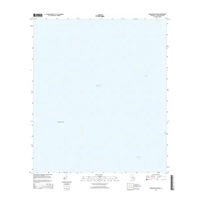
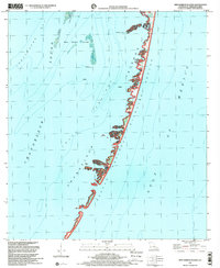
2015 Map of Freemason Island
USGS Topo · Published 2015About this map
Freemason Island stands as a solitary geographic marker within the expansive waters of Chandeleur Sound in this 2015 survey. Located in Saint Bernard Parish, this coastal region is defined by the open reaches of the Gulf of Mexico, where the barrier island landscape is constantly reshaped by maritime forces. The map illustrates the minimal land area typical of this outer reach of the Mississippi River Delta, where few named land features emerge from the surrounding sounds. This document records the precise position of the island at a specific moment in time, providing a reference for researchers tracking coastal change, shoreline migration, and the shifting geography of Louisiana's southeastern coastal fringes.
Find a feature on this map
3 named features on this map. Tap any name to fly to it.
Don’t see what you’re looking for? This feature index may not catch every label — zoom into the map to look around manually.
Map Details
Editions of this 2015 Freemason Island Map
This is the sole edition of this map. No revisions or reprints were ever made.
Other maps of this area

1893 · Chandeleur
USGS Topo · 1:62,500

1951 · North Islands
USGS Topo · 1:24,000

1951 · New Harbor Islands
USGS Topo · 1:24,000
1951 · Stake Islands
USGS Topo · 1:24,000
1951 · Freemason Island
USGS Topo · 1:24,000

1957 · Breton Sound
USGS Topo · 1:250,000

1961 · Breton Sound
USGS Topo · 1:250,000

1982 · North Islands
USGS Topo · 1:100,000
1983 · Black Bay
USGS Topo · 1:100,000
1998 · New Harbor Islands
USGS Topo · 1:24,000