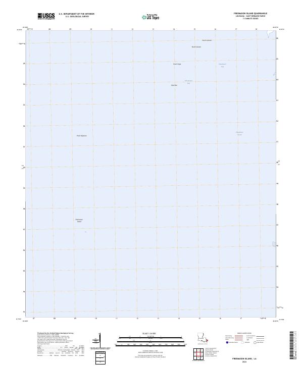
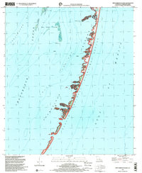
2024 Map of Freemason Island
USGS Topo · Published 2024About this map
Breton National Wildlife Refuge encompasses the fragile, shifting landforms of this coastal landscape, situated within the expansive waters of Chandeleur Sound. This 2024 survey documents the isolated coastal morphology of Freemason Island and the North Islands as they exist in the modern era. The presence of features like Point Neptune, Point Hope, and Shell Bar illustrates a precarious geography defined by the ebb and flow of the Gulf, where small spits of land provide critical habitat. The map details the sheltered waters of Shoalwater Bay, offering a precise record of the shoreline for environmental researchers and those studying the contemporary state of the Louisiana coast.
Find a feature on this map
8 named features on this map. Tap any name to fly to it.
Don’t see what you’re looking for? This feature index may not catch every label — zoom into the map to look around manually.
Map Details
Editions of this 2024 Freemason Island Map
This is the sole edition of this map. No revisions or reprints were ever made.
Other maps of this area

1893 · Chandeleur
USGS Topo · 1:62,500

1951 · North Islands
USGS Topo · 1:24,000

1951 · New Harbor Islands
USGS Topo · 1:24,000
1951 · Stake Islands
USGS Topo · 1:24,000
1951 · Freemason Island
USGS Topo · 1:24,000

1957 · Breton Sound
USGS Topo · 1:250,000

1961 · Breton Sound
USGS Topo · 1:250,000

1982 · North Islands
USGS Topo · 1:100,000
1983 · Black Bay
USGS Topo · 1:100,000
1998 · New Harbor Islands
USGS Topo · 1:24,000