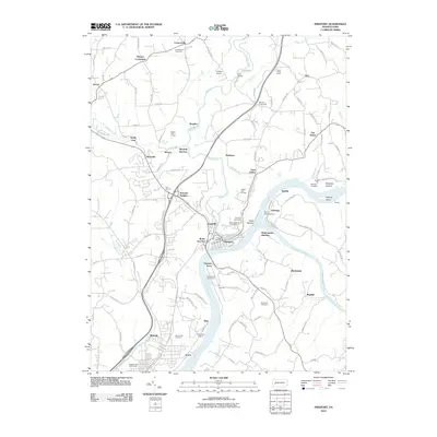
2010 Map of Freeport
USGS Topo · Published 2010About this map
Freeport sits at the vital confluence of the Allegheny River and the Kiskiminetas River, serving as a historic hub for river and rail transportation. This modern survey illustrates the industrial and residential development along these waterways, highlighting the critical junction at Kiskiminetas Junction and the presence of Dam Number Five. Away from the riverbanks, the terrain is dotted with small settlements like Leasureville, Harbison, and Birdville, while the landscape is punctuated by several local golf courses and cemeteries, including Brookland Cemetery and Saint Marys Cemetery.
Find a feature on this map
116 named features on this map. Tap any name to fly to it.
Don’t see what you’re looking for? This feature index may not catch every label — zoom into the map to look around manually.
Map Details
Editions of this 2010 Freeport Map
This is the sole edition of this map. No revisions or reprints were ever made.
Other maps of this area

1900 · Kittanning
USGS Topo · 1:62,500

1902 · Kittanning
USGS Topo · 1:62,500

1907 · Freeport
USGS Topo · 1:62,500

1908 · New Kensington
USGS Topo · 1:62,500

1909 · Freeport
USGS Topo · 1:62,500

1909 · Butler
USGS Topo · 1:62,500

1910 · New Kensington
USGS Topo · 1:62,500

1911 · Butler
USGS Topo · 1:62,500

1953 · Pittsburgh
USGS Topo · 1:250,000

1953 · New Kensington East
USGS Topo · 1:24,000