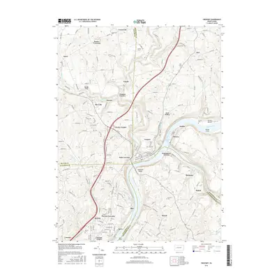
2016 Map of Freeport
USGS Topo · Published 2016About this map
The Allegheny River and its confluence with the Kiskiminetas River anchor this 2016 study of the industrial and residential corridors northeast of Pittsburgh. The river geography is central to the area's development, evidenced by Allegheny River Pool Five and historical crossing points like Garvers Ferry. Settlement patterns follow the riverbanks and rail lines, with Freeport serving as a primary hub, flanked by specialized districts and rail junctions such as Winfield Junction, Butler Junction, and Kiskiminetas Junction.
Find a feature on this map
172 named features on this map. Tap any name to fly to it.
Don’t see what you’re looking for? This feature index may not catch every label — zoom into the map to look around manually.
Map Details
Editions of this 2016 Freeport Map
This is the sole edition of this map. No revisions or reprints were ever made.
Other maps of this area

1900 · Kittanning
USGS Topo · 1:62,500

1902 · Kittanning
USGS Topo · 1:62,500

1907 · Freeport
USGS Topo · 1:62,500

1908 · New Kensington
USGS Topo · 1:62,500

1909 · Freeport
USGS Topo · 1:62,500

1909 · Butler
USGS Topo · 1:62,500

1910 · New Kensington
USGS Topo · 1:62,500

1911 · Butler
USGS Topo · 1:62,500

1953 · Pittsburgh
USGS Topo · 1:250,000

1953 · New Kensington East
USGS Topo · 1:24,000