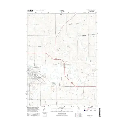
2015 Map of Freeport East
USGS Topo · Published 2015About this map
Freeport and its eastern surroundings are defined by the convergence of several waterways, most notably the Pecatonica River and Yellow Creek. These river valleys create a low-lying landscape south of the more elevated agricultural terrain near Winneshiek. This 2015 record captures the modern layout of the city's street grid, including E Empire St and E South St, as it transitions from an urban center into the surrounding countryside. A high density of burial grounds like Saint Joseph Cem, Lancaster Cem, and State Road Cem provides a detailed footprint for local family historians. Transport infrastructure is prominent, with aviation hubs like Albertus Airport and Freeport/Dornink Airport serving the region, while the eastern edge is marked by the small settlement of Browns Mill and the meandering path of Silver Creek.
Find a feature on this map
37 named features on this map. Tap any name to fly to it.
Don’t see what you’re looking for? This feature index may not catch every label — zoom into the map to look around manually.
Map Details
Editions of this 2015 Freeport East Map
This is the sole edition of this map. No revisions or reprints were ever made.
Other maps of this area

1922 · Oregon
USGS Topo · 1:62,500

1924 · Oregon
USGS Topo · 1:62,500

1932 · Pecatonica
USGS Topo · 1:62,500

1936 · Pecatonica
USGS Topo · 1:62,500

1939 · Freeport
USGS Topo · 1:48,000

1942 · Forreston
USGS Topo · 1:62,500

1944 · Freeport
USGS Topo · 1:62,500

1945 · Forreston
USGS Topo · 1:62,500

1954 · Rockford
USGS Topo · 1:250,000

1955 · Rockford
USGS Topo · 1:250,000