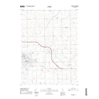
2021 Map of Freeport East
USGS Topo · Published 2021About this map
The Pecatonica River winds through the heart of this Stephenson County landscape, defining the transition from the urban grid of Freeport to the agricultural expanses of northern Illinois. In the city's downtown, the Stephenson County Courthouse and the Grace Episcopal Church Columbarium stand as established landmarks near the riverbanks. The surrounding countryside is dotted with a high density of rural burial grounds, including the Freeport Mennonite Cem, Lancaster Cem, and the State Road Cem near Browns Mill, reflecting generations of local family history and settlement patterns.
Find a feature on this map
77 named features on this map. Tap any name to fly to it.
Don’t see what you’re looking for? This feature index may not catch every label — zoom into the map to look around manually.
Map Details
Editions of this 2021 Freeport East Map
This is the sole edition of this map. No revisions or reprints were ever made.
Other maps of this area

1922 · Oregon
USGS Topo · 1:62,500

1924 · Oregon
USGS Topo · 1:62,500

1932 · Pecatonica
USGS Topo · 1:62,500

1936 · Pecatonica
USGS Topo · 1:62,500

1939 · Freeport
USGS Topo · 1:48,000

1942 · Forreston
USGS Topo · 1:62,500

1944 · Freeport
USGS Topo · 1:62,500

1945 · Forreston
USGS Topo · 1:62,500

1954 · Rockford
USGS Topo · 1:250,000

1955 · Rockford
USGS Topo · 1:250,000