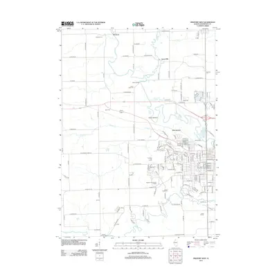
2012 Map of Freeport West
USGS Topo · Published 2012About this map
The Pecatonica River winds through the heart of this Stephenson County landscape, defining the low-lying Preston Bottoms and creating a complex network of meanders and oxbows. In the northern reaches, the small settlements of Damascus and Scioto Mills punctuate a primarily agricultural grid, while further south, the suburban expansion of western Freeport is evident. The western edge of the city is anchored by the campus of Highland Community College and several large cemeteries, including Oakland Freeport Cem and the Freeport City Cem.
Find a feature on this map
157 named features on this map. Tap any name to fly to it.
Don’t see what you’re looking for? This feature index may not catch every label — zoom into the map to look around manually.
Map Details
Editions of this 2012 Freeport West Map
This is the sole edition of this map. No revisions or reprints were ever made.
Other maps of this area

1937 · Lena
USGS Topo · 1:48,000

1939 · Freeport
USGS Topo · 1:48,000

1942 · Mt Carroll
USGS Topo · 1:62,500

1942 · Lena
USGS Topo · 1:62,500

1942 · Forreston
USGS Topo · 1:62,500

1943 · Lena
USGS Topo · 1:62,500

1944 · Mt Carroll
USGS Topo · 1:62,500

1944 · Freeport
USGS Topo · 1:62,500

1945 · Forreston
USGS Topo · 1:62,500

1954 · Rockford
USGS Topo · 1:250,000