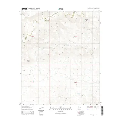
2014 Map of Freezeout Mountain
USGS Topo · Published 2014About this map
Freezeout Mountain anchors this high-elevation terrain along the border of Apache and Graham counties. The 2014 landscape is defined by the winding course of the Black River to the north and a complex system of seasonal drainages and stock tanks that support life in this arid environment. Significant natural corridors like Malay Gap and BS Gap provide passage through the ridgelines, while deep cuts such as Arkie Canyon, Helen Canyon, and Little Bear Canyon reveal the erosive power of water over time. The distribution of features like Cox Corral Tank, Loafer Tank, and Yellow Pine Tank suggests a land primarily used for livestock grazing, where every water source is a critical named landmark for local navigation and land management.
Find a feature on this map
24 named features on this map. Tap any name to fly to it.
Don’t see what you’re looking for? This feature index may not catch every label — zoom into the map to look around manually.
Map Details
Editions of this 2014 Freezeout Mountain Map
This is the sole edition of this map. No revisions or reprints were ever made.
Other maps of this area

1913 · Morenci
USGS Topo · 1:125,000

1915 · Morenci
USGS Topo · 1:125,000

1922 · Nutrioso
USGS Topo · 1:125,000

1954 · Clifton
USGS Topo · 1:250,000

1957 · Clifton
USGS Topo · 1:250,000

1958 · Clifton
USGS Topo · 1:250,000

1958 · Hannagan Meadow
USGS Topo · 1:62,500

1962 · Clifton
USGS Topo · 1:250,000

1967 · Freezeout Mountain
USGS Topo · 1:24,000

1967 · Robinson Mesa
USGS Topo · 1:24,000