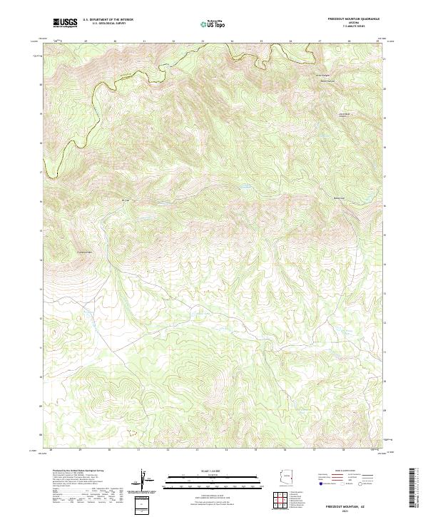
2021 Map of Freezeout Mountain
USGS Topo · Published 2021About this map
The Black River winds along the northern border of this Apache and Graham County landscape, marking a deep boundary through high-altitude terrain. The topography is defined by significant landmarks like Freezeout Mtn and the strategic passage at BS Gap, while the central and eastern portions are carved by Arkie Canyon, Helen Canyon, and Little Bear Canyon. This area of the Apache Co Graham Co line is characterized by its remote network of water management features, critical for the local ecosystem.
Find a feature on this map
22 named features on this map. Tap any name to fly to it.
Don’t see what you’re looking for? This feature index may not catch every label — zoom into the map to look around manually.
Map Details
Editions of this 2021 Freezeout Mountain Map
This is the sole edition of this map. No revisions or reprints were ever made.
Other maps of this area

1913 · Morenci
USGS Topo · 1:125,000

1915 · Morenci
USGS Topo · 1:125,000

1922 · Nutrioso
USGS Topo · 1:125,000

1954 · Clifton
USGS Topo · 1:250,000

1957 · Clifton
USGS Topo · 1:250,000

1958 · Clifton
USGS Topo · 1:250,000

1958 · Hannagan Meadow
USGS Topo · 1:62,500

1962 · Clifton
USGS Topo · 1:250,000

1967 · Freezeout Mountain
USGS Topo · 1:24,000

1967 · Robinson Mesa
USGS Topo · 1:24,000