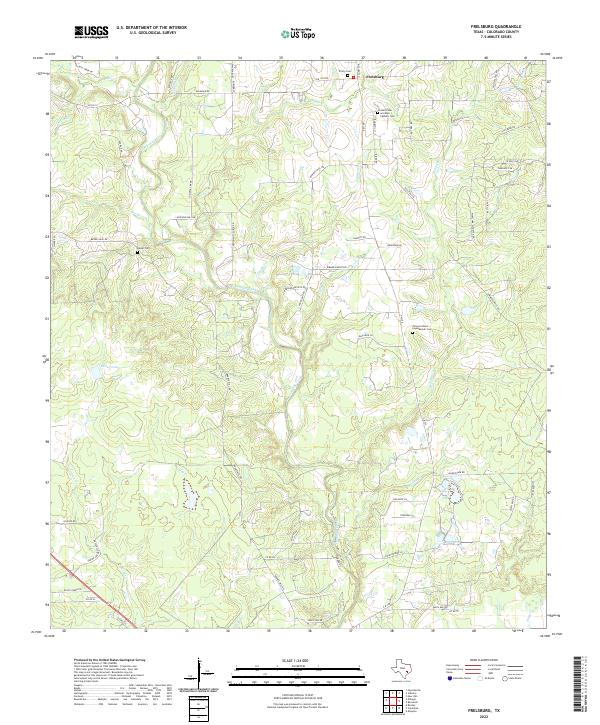
2022 Map of Frelsburg
USGS Topo · Published 2022About this map
The settlement of Frelsburg and the surrounding Colorado County landscape are defined by a network of creeks and legacy family landholdings. This 2022 survey details the intricate drainages of Cummins Creek, Piney Cr, and Redgate Cr as they cut through the terrain. For genealogists, the map is a vital resource, accurately locating several community burial grounds including Trinity Cem, the Kaiser Cem, and the Saint Peter and Paul Catholic Cem. Historical road names like Dungens Mill Rd and Brunes Mill Rd suggest the location of former milling operations that once served this agricultural region. Near the center of the sheet, the Zimmerscheit - Leyendecker Cem sits along Zimmerscheidt Rd, preserving the names of the early families who established these rural homesteads.
Find a feature on this map
67 named features on this map. Tap any name to fly to it.
Don’t see what you’re looking for? This feature index may not catch every label — zoom into the map to look around manually.
Map Details
Editions of this 2022 Frelsburg Map
This is the sole edition of this map. No revisions or reprints were ever made.
Other maps of this area

1919 · Fayettsville
USGS Topo · 1:62,500

1953 · Seguin
USGS Topo · 1:250,000

1956 · Bellville
USGS Topo · 1:62,500

1956 · Glidden
USGS Topo · 1:62,500

1957 · Eagle Lake
USGS Topo · 1:62,500

1957 · Ellinger
USGS Topo · 1:24,000

1957 · Columbus
USGS Topo · 1:24,000

1957 · Borden
USGS Topo · 1:24,000

1958 · Seguin
USGS Topo · 1:250,000

1958 · Industry
USGS Topo · 1:24,000