Loading...
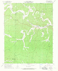
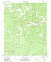
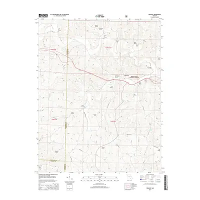
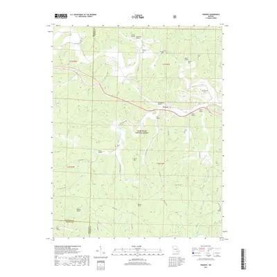
Loading map...1968 Map of Fremont
USGS Topo · Published 1969About this map
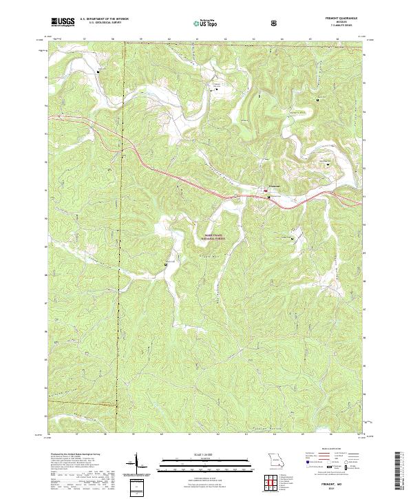
Fremont sits at a geographic crossroads in the late 1960s, where the St Louis-San Francisco railroad and local pikes navigate a complex system of Ozark hollows. The landscape is dominated by the Mark Twain National Forest, though clear signs of industrial and community history remain. Most prominent is the Site of Old Midco Iron Works, located near Midco Hollow and Retort Hill, serving as a silent reminder of the area's smelting past.
Find a feature on this map
41 named features on this map. Tap any name to fly to it.
Don’t see what you’re looking for? This feature index may not catch every label — zoom into the map to look around manually.
Map Details
Date Portrayed1968
Date Published1969
PublisherU.S. Geological Survey
Map TypeTopographic
Scale1:24,000
Physical Dimensions21.9 x 26.8 inches
Editions of this 1968 Fremont Map
2 editions found
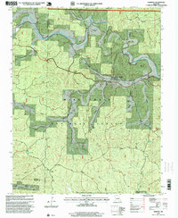
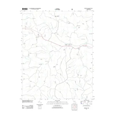
Historical Maps of Fremont Through Time
6 maps found
Featured Locations
Source Details
SourceU.S. Geological Survey
CopyrightPublic Domain