Loading...
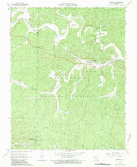
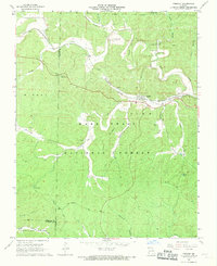
Loading map...1968 Map of Fremont
USGS Topo · Published 1983About this map
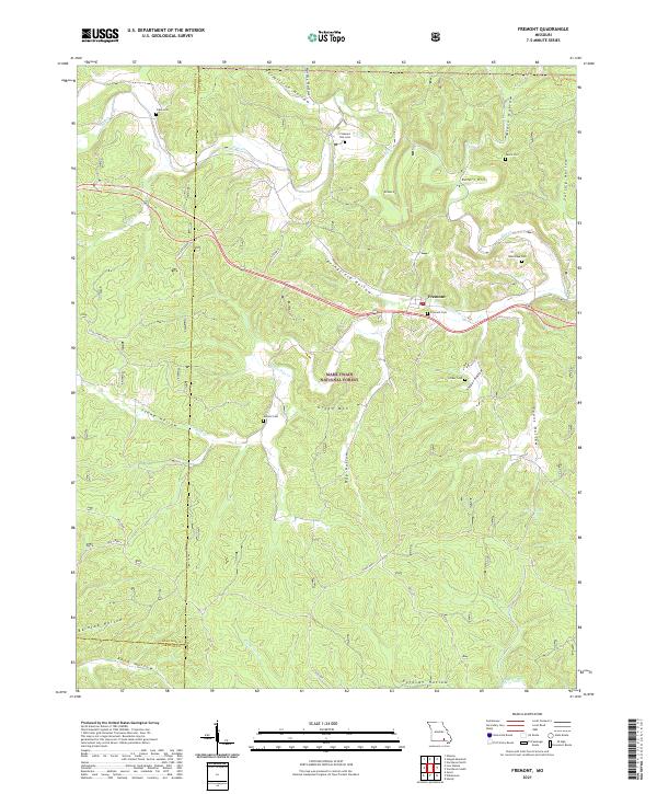
Industrial history and deep Ozark hollows define this area of the Mark Twain National Forest during the late 1960s. The settlement of Fremont serves as a central point along the St Louis - San Francisco railroad line, which follows the winding course of Pike Creek through the terrain. North of town, the Site of Old Midco Iron Works remains a significant landmark near Midco Hollow and Midco Cem, marking a site of former extractive industry.
Find a feature on this map
41 named features on this map. Tap any name to fly to it.
Don’t see what you’re looking for? This feature index may not catch every label — zoom into the map to look around manually.
Map Details
Date Portrayed1968
Date Published1983
PublisherU.S. Geological Survey
Map TypeTopographic
Scale1:24,000
Physical Dimensions21.9 x 26.8 inches
Editions of this 1968 Fremont Map
2 editions found
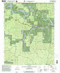
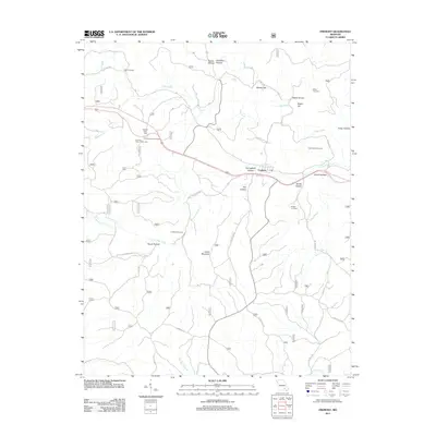
Historical Maps of Fremont Through Time
6 maps found
Featured Locations
Source Details
SourceU.S. Geological Survey
CopyrightPublic Domain