
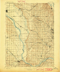
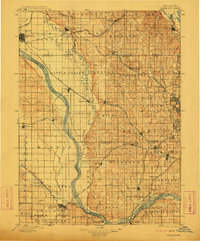
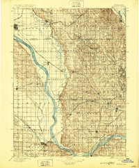
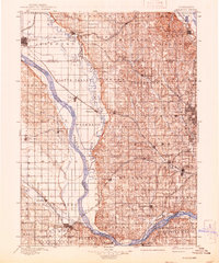
1896 Map of Fremont
USGS Topo · Published 1896About this map
The confluence of the Platte River and Elkhorn River dominates this eastern Nebraska landscape at the end of the nineteenth century. This era of westward expansion is clearly defined by a dense lattice of competing railroads, including the Union Pacific R.R. and the Chicago and North Western Line, which fueled the growth of vital transport hubs like Fremont and Papillion. The map reveals the early township structures of Dodge and Washington counties, where small settlements such as Fontanelle, Arlington, and Gretna served as agricultural anchors.
Find a feature on this map
96 named features on this map. Tap any name to fly to it.
Don’t see what you’re looking for? This feature index may not catch every label — zoom into the map to look around manually.
Map Details
Editions of this 1896 Fremont Map
5 editions found
Other maps of this area

1893 · Omaha
USGS Topo · 1:62,500

1893 · Fremont
USGS Topo · 1:125,000

1897 · Lincoln
USGS Topo · 1:125,000

1899 · Wahoo
USGS Topo · 1:125,000

1903 · Weeping Water
USGS Topo · 1:125,000

1929 · Weeping Water
USGS Topo · 1:125,000

1935 · Nehawka
USGS Topo · 1:48,000

1940 · Nehawka
USGS Topo · 1:62,500

1954 · Omaha
USGS Topo · 1:250,000

1955 · Fremont
USGS Topo · 1:250,000