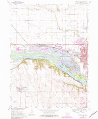
1968 Map of Fremont West
USGS Topo · Published 1983About this map
The Platte River defines the landscape as it separates Dodge Co and Saunders Co in eastern Nebraska. This area is characterized by an extensive system of sandpit lakes and recreational grounds, most notably the Fremont State Recreation Area, which encompasses numerous water bodies like Meadow Lake and Summer Haven Lake. The city of Fremont sits at the eastern edge of the sheet, serving as a major hub for the Union Pacific and Chicago and North Western railroads.
Find a feature on this map
57 named features on this map. Tap any name to fly to it.
Don’t see what you’re looking for? This feature index may not catch every label — zoom into the map to look around manually.
Map Details
Editions of this 1968 Fremont West Map
2 editions found
Other maps of this area

1893 · Fremont
USGS Topo · 1:125,000

1896 · Fremont
USGS Topo · 1:125,000

1899 · Wahoo
USGS Topo · 1:125,000

1955 · Fremont
USGS Topo · 1:250,000

1957 · Fremont
USGS Topo · 1:250,000

1958 · Fremont
USGS Topo · 1:250,000

1966 · Scribner SW
USGS Topo · 1:24,000

1966 · Nickerson
USGS Topo · 1:24,000

1966 · Hooper
USGS Topo · 1:24,000

1968 · Leshara
USGS Topo · 1:24,000