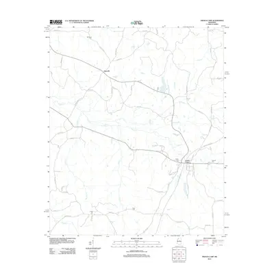
2012 Map of French Camp
USGS Topo · Published 2012About this map
French Camp and Huntsville anchor this rural landscape in central Mississippi, where the headwaters of numerous creeks carve a complex drainage pattern through Choctaw County. The historical significance of the area is highlighted by the winding path of Old Trace Rd, reflecting the enduring legacy of the Natchez Trace through this timbered territory. Family history is well-preserved across the land, with several established burial grounds including French Camp Cem, Hemphill Cem, and Branscome Cem positioned near old crossroads. A dense network of local routes like Dorisville Rd and Mt Salem Rd connects these settlements, following the ridges above Poplar Creek and Wolf Creek. The transition from larger county highways to primitive forest tracks underscores the remote, agrarian character of the region as it entered the 21st century.
Find a feature on this map
57 named features on this map. Tap any name to fly to it.
Don’t see what you’re looking for? This feature index may not catch every label — zoom into the map to look around manually.
Map Details
Editions of this 2012 French Camp Map
This is the sole edition of this map. No revisions or reprints were ever made.
Other maps of this area

1953 · West Point
USGS Topo · 1:250,000

1958 · West Point
USGS Topo · 1:250,000

1963 · West Point
USGS Topo · 1:250,000

1964 · Kosciusko NE
USGS Topo · 1:24,000

1966 · Kilmichael
USGS Topo · 1:24,000

1966 · Poplar Creek
USGS Topo · 1:24,000

1966 · Kosciusko
USGS Topo · 1:62,500

1966 · Stewart
USGS Topo · 1:24,000

1966 · Weir
USGS Topo · 1:24,000

1966 · Tomnolen
USGS Topo · 1:24,000