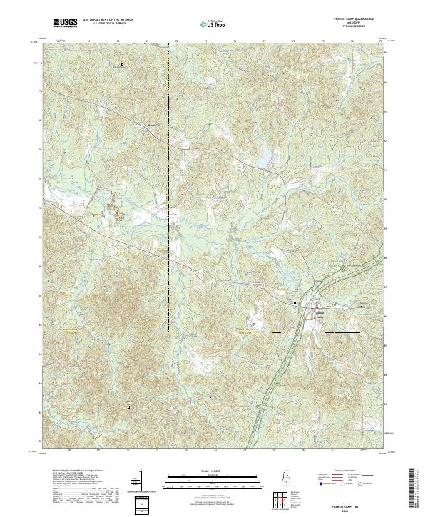
2024 Map of French Camp
USGS Topo · Published 2024About this map
French Camp serves as a primary anchor in this central Mississippi landscape, situated at the intersection of local history and modern transport. The map reveals a high concentration of family and community burial grounds, including Branscome Cem and Hemphill Cem, which suggest the deep-rooted genealogical heritage of Choctaw and Montgomery counties. The presence of Chapel Hill Cem and Eades Cem further indicates the dispersed nature of historical rural congregations that once defined these uplands.
Find a feature on this map
66 named features on this map. Tap any name to fly to it.
Don’t see what you’re looking for? This feature index may not catch every label — zoom into the map to look around manually.
Map Details
Editions of this 2024 French Camp Map
This is the sole edition of this map. No revisions or reprints were ever made.
Other maps of this area

1953 · West Point
USGS Topo · 1:250,000

1958 · West Point
USGS Topo · 1:250,000

1963 · West Point
USGS Topo · 1:250,000

1964 · Kosciusko NE
USGS Topo · 1:24,000

1966 · Kilmichael
USGS Topo · 1:24,000

1966 · Poplar Creek
USGS Topo · 1:24,000

1966 · Kosciusko
USGS Topo · 1:62,500

1966 · Stewart
USGS Topo · 1:24,000

1966 · Weir
USGS Topo · 1:24,000

1966 · Tomnolen
USGS Topo · 1:24,000