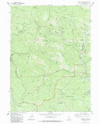
1979 Map of French Gulch
USGS Topo · Published 1979About this map
Mining operations and historical mountain settlements define this rugged stretch of the Trinity Mountains on the border of Shasta and Trinity Counties. The community of French Gulch serves as a focal point along Clear Creek, surrounded by evidence of decades of resource extraction, including extensive Dredge Tailings and numerous lode mines such as the Washington Mine, Black Tom Mine, and the Brown Bear Mine. The presence of the Lewiston Turnpike Road suggests the historical importance of this corridor for trans-mountain travel.
Find a feature on this map
58 named features on this map. Tap any name to fly to it.
Don’t see what you’re looking for? This feature index may not catch every label — zoom into the map to look around manually.
Map Details
Editions of this 1979 French Gulch Map
2 editions found
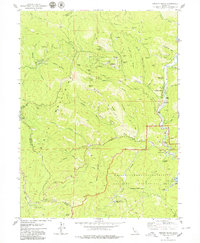
Other maps of this area

1890 · Red Bluff
USGS Topo · 1:250,000

1894 · Red Bluff
USGS Topo · 1:250,000

1913 · Weaverville
USGS Topo · 1:125,000

1944 · French Gulch
USGS Topo · 1:62,500

1948 · French Gulch
USGS Topo · 1:62,500

1950 · Minersville
USGS Topo · 1:62,500

1950 · Schell Mtn
USGS Topo · 1:62,500

1950 · Weaverville
USGS Topo · 1:62,500
1952 · Schell Mtn.
USGS Topo · 1:62,500

1952 · Weaverville
USGS Topo · 1:62,500