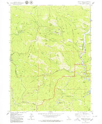
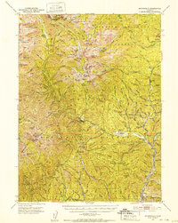
1979 Map of French Gulch
USGS Topo · Published 1979About this map
Gold mining history is etched into the landscape of the Trinity Mountains on the Shasta and Trinity county border. The map documents an extensive network of mineral extraction sites, including the Brown Bear Mine, Deadwood Mine, and the Black Tom Mine. These operations follow the steep drainage of French Gulch and its tributaries like Scorpion Gulch. The settlement of French Gulch serves as a focal point near Clear Creek, where industrial evidence such as Dredge Tailings remains visible. To the south, the Whiskeytown Shasta Trinity National Recreation Area includes modern infrastructure like the Judge Carr Powerplant and Surge Chamber. Historical transportation routes are represented by the Lewiston Turnpike, while remote outposts such as Shingle Shanty and the Crystal Creek Conservation Camp occupy the high country.
Find a feature on this map
60 named features on this map. Tap any name to fly to it.
Don’t see what you’re looking for? This feature index may not catch every label — zoom into the map to look around manually.
Map Details
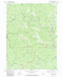
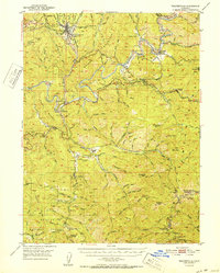
Editions of this 1979 French Gulch Map
2 editions found
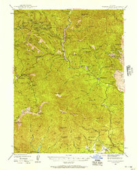
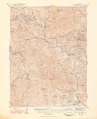
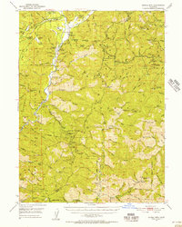
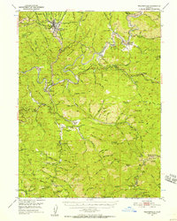
Other maps of this area

1890 · Red Bluff
USGS Topo · 1:250,000

1894 · Red Bluff
USGS Topo · 1:250,000

1913 · Weaverville
USGS Topo · 1:125,000
1944 · French Gulch
USGS Topo · 1:62,500
1948 · French Gulch
USGS Topo · 1:62,500
1950 · Minersville
USGS Topo · 1:62,500
1950 · Schell Mtn
USGS Topo · 1:62,500
1950 · Weaverville
USGS Topo · 1:62,500

1952 · Schell Mtn.
USGS Topo · 1:62,500
1952 · Weaverville
USGS Topo · 1:62,500