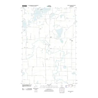
2010 Map of French Lake
USGS Topo · Published 2010About this map
The North Fork Crow River snakes through the center of this Wright County landscape, providing a winding natural axis for the surrounding rural communities of French Lake, Knapp, and West Albion. This 2010 survey highlights a region defined by its glacial lakes, including the sprawling waters of West Lake Sylvia and East Lake Sylvia, which are separated by the Lake Sylvia Peninsula. The area is particularly rich in local history and genealogy markers, featuring an unusually high density of community burial grounds such as Saint Ignatius Cemetery, National Cemetery, and the Apostolic Cemetery.
Find a feature on this map
80 named features on this map. Tap any name to fly to it.
Don’t see what you’re looking for? This feature index may not catch every label — zoom into the map to look around manually.
Map Details
Editions of this 2010 French Lake Map
This is the sole edition of this map. No revisions or reprints were ever made.
Other maps of this area

1951 · Annandale
USGS Topo · 1:62,500

1953 · Saint Cloud
USGS Topo · 1:250,000

1957 · Saint Cloud
USGS Topo · 1:250,000

1958 · Saint Cloud
USGS Topo · 1:250,000

1958 · Dassel
USGS Topo · 1:62,500

1958 · Cokato
USGS Topo · 1:62,500

1967 · Kimball
USGS Topo · 1:24,000
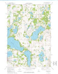
1974 · Annandale
USGS Topo · 1:24,000
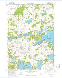
1974 · South Haven
USGS Topo · 1:24,000
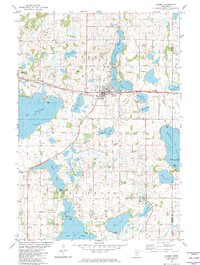
1982 · Dassel
USGS Topo · 1:24,000