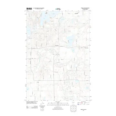
2013 Map of French Lake
USGS Topo · Published 2013About this map
French Lake and the winding North Fork Crow River define the rural character of this Wright County landscape. The area is characterized by a high density of small rural burial grounds, including the National Cem, Apostolic Cem, and Riverside Cem, which serve as vital touchpoints for local genealogical research. Small crossroads settlements such as Knapp and West Albion anchor the farming community, while the northern reaches transition into the lake country surrounding Annandale and the Lake Sylvia Peninsula. The intricate drainage patterns of French Cr and numerous kettle lakes like Dans Lake and Mud Lake illustrate the glacial heritage of the terrain. This survey provides a clear view of the early 21st-century road network, where county highways like Co HWY-37 NW connect isolated farmsteads and historic church sites like Saint Ignatius Cem.
Find a feature on this map
90 named features on this map. Tap any name to fly to it.
Don’t see what you’re looking for? This feature index may not catch every label — zoom into the map to look around manually.
Map Details
Editions of this 2013 French Lake Map
This is the sole edition of this map. No revisions or reprints were ever made.
Other maps of this area

1951 · Annandale
USGS Topo · 1:62,500

1953 · Saint Cloud
USGS Topo · 1:250,000

1957 · Saint Cloud
USGS Topo · 1:250,000

1958 · Saint Cloud
USGS Topo · 1:250,000

1958 · Dassel
USGS Topo · 1:62,500

1958 · Cokato
USGS Topo · 1:62,500

1967 · Kimball
USGS Topo · 1:24,000
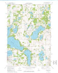
1974 · Annandale
USGS Topo · 1:24,000
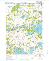
1974 · South Haven
USGS Topo · 1:24,000
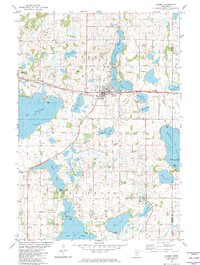
1982 · Dassel
USGS Topo · 1:24,000