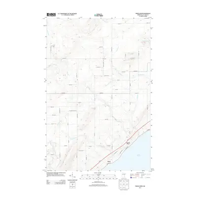
2013 Map of French River
USGS Topo · Published 2013About this map
French River and Clifton sit along the North Shore of Lake Superior, where numerous waterways descend from the higher elevations of Saint Louis County toward the lake. The terrain is defined by the drainage basins of the Lester River, Talmadge River, and the French River itself, along with smaller tributaries like Big Sucker Cr and Little Knife River. This network of streams historically shaped the settlement patterns and road networks in this part of northern Minnesota.
Find a feature on this map
46 named features on this map. Tap any name to fly to it.
Don’t see what you’re looking for? This feature index may not catch every label — zoom into the map to look around manually.
Map Details
Editions of this 2013 French River Map
This is the sole edition of this map. No revisions or reprints were ever made.
Other maps of this area

1895 · Duluth
USGS Topo · 1:62,500

1953 · Lakewood
USGS Topo · 1:24,000

1953 · French River
USGS Topo · 1:24,000

1953 · Arnold
USGS Topo · 1:24,000

1953 · Duluth
USGS Topo · 1:24,000

1953 · Knife River
USGS Topo · 1:24,000

1953 · Duluth
USGS Topo · 1:62,500

1953 · Ashland
USGS Topo · 1:250,000

1953 · Duluth
USGS Topo · 1:250,000

1954 · Barrs Lake
USGS Topo · 1:24,000