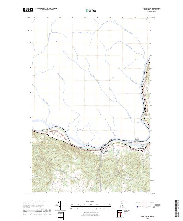
2024 Map of Frenchville
USGS Topo · Published 2024About this map
The Saint John River forms a major international boundary in this northern Maine landscape, separating the United States from Canada. Along its southern bank, the settlements of Frenchville and Upper Frenchville follow the river's curve, anchored by local landmarks like Saint Luce Cem and the surrounding heights of Glass Hill and Gagnon Hill. The area is part of the broader Upper Saint John River Valley, where the geography is defined by a series of north-flowing tributaries such as Daigle Brook, Dickey Brook, and Burgoin Brook. Across the water, several French-named streams, including Ruisseau Trois-Milles and Ruisseau à Félix-Martin, drain into the main channel near Levesque Island and Michaud Island. This modern survey highlights the persistent influence of Acadian heritage through its road names, including Charette Hill Rd and Paradis Ave.
Find a feature on this map
28 named features on this map. Tap any name to fly to it.
Don’t see what you’re looking for? This feature index may not catch every label — zoom into the map to look around manually.
Map Details
Editions of this 2024 Frenchville Map
This is the sole edition of this map. No revisions or reprints were ever made.
Other maps of this area

1927 · Square Lake
USGS Topo · 1:48,000

1928 · Eagle Lake
USGS Topo · 1:48,000

1931 · Square Lake
USGS Topo · 1:62,500

1931 · Eagle Lake
USGS Topo · 1:62,500

1932 · Frenchville
USGS Topo · 1:48,000

1932 · Fort Kent
USGS Topo · 1:48,000

1935 · Fort Kent
USGS Topo · 1:62,500

1935 · Frenchville
USGS Topo · 1:62,500

1953 · Square Lake
USGS Topo · 1:62,500

1962 · Edmundston
USGS Topo · 1:250,000