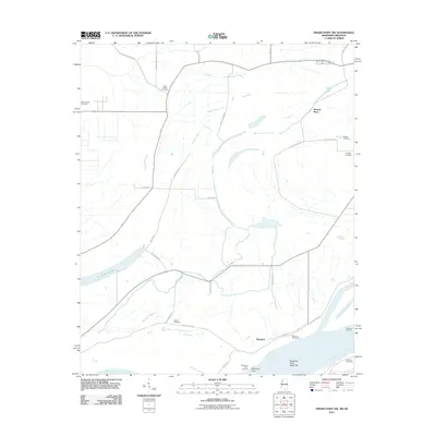
2011 Map of Friars Point NW
USGS Topo · Published 2011About this map
The Mississippi River defines the western edge of this landscape, its shifting course having left behind a series of distinct hydrologic features including Old Town Lake, Long Lake, and the Missouri Slough. Along the riverbanks, navigation and flood control infrastructure is evident through the Westover Revetment and landings like Kangaroo Point Landing and Westover Landing. The agricultural character of Coahoma County is marked by a grid of rural roads and scattered named homesteads and settlements such as Preston Place and Westover. Genealogists will find a significant distribution of burial sites across the alluvial plain, including Saint Marys Cemetery, Maney Cemetery, Mount Olive Cemetery, and several others that serve as markers of the area's long-established family history.
Find a feature on this map
33 named features on this map. Tap any name to fly to it.
Don’t see what you’re looking for? This feature index may not catch every label — zoom into the map to look around manually.
Map Details
Editions of this 2011 Friars Point NW Map
This is the sole edition of this map. No revisions or reprints were ever made.
Other maps of this area

1908 · Coahoma
USGS Topo · 1:24,000

1908 · Moon Lake
USGS Topo · 1:24,000

1910 · Coahoma
USGS Topo · 1:31,680

1912 · Moon Lake
USGS Topo · 1:31,680

1939 · Farrell
USGS Topo · 1:62,500

1939 · Modoc
USGS Topo · 1:62,500

1939 · Latour
USGS Topo · 1:62,500

1940 · Marvell
USGS Topo · 1:62,500

1948 · Helena
USGS Topo · 1:250,000

1948 · Modoc
USGS Topo · 1:62,500