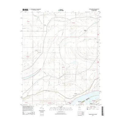
2015 Map of Friars Point NW
USGS Topo · Published 2015About this map
The Mississippi River and its intricate network of former channels define this Mississippi Delta landscape along the border of Coahoma and Phillips counties. The terrain is a complex of wetlands and low-lying land, marked by Missouri Slough, Old Town Lake, and Long Lake. This 2015 survey reveals a rural area largely dedicated to agriculture, where small clusters of settlement such as Saint Marys, Preston Place, and Westover are connected by an extensive system of secondary roads including Phillips 336 Rd and Phillips 407 Rd.
Find a feature on this map
47 named features on this map. Tap any name to fly to it.
Don’t see what you’re looking for? This feature index may not catch every label — zoom into the map to look around manually.
Map Details
Editions of this 2015 Friars Point NW Map
This is the sole edition of this map. No revisions or reprints were ever made.
Other maps of this area

1908 · Coahoma
USGS Topo · 1:24,000

1908 · Moon Lake
USGS Topo · 1:24,000

1910 · Coahoma
USGS Topo · 1:31,680

1912 · Moon Lake
USGS Topo · 1:31,680

1939 · Farrell
USGS Topo · 1:62,500

1939 · Modoc
USGS Topo · 1:62,500

1939 · Latour
USGS Topo · 1:62,500

1940 · Marvell
USGS Topo · 1:62,500

1948 · Helena
USGS Topo · 1:250,000

1948 · Modoc
USGS Topo · 1:62,500