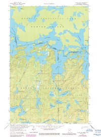
1963 Map of Friday Bay
USGS Topo · Published 1986About this map
Quetico Provincial Park and the Boundary Waters Canoe Area Wilderness dominate this international borderland survey, where the intricate labyrinth of the Canadian-American boundary weaves through a series of interconnected waterways. The map centers on the day-named bays of Crooked Lake, including Friday Bay, Saturday Bay, Sunday Bay, and Thursday Bay. This remote geography is defined by a dense network of lakes and drainage systems, such as Sinneeg Creek and Bunggee Creek, which flow through the Superior National Forest. To the north, the massive landform of Hunter Island is shown with various Portage routes and Rapids identified, illustrating the traditional transit methods required to navigate this glaciated shield landscape. The absence of roads emphasizes the protected, wilderness character of the region during the mid-20th century.
Find a feature on this map
42 named features on this map. Tap any name to fly to it.
Don’t see what you’re looking for? This feature index may not catch every label — zoom into the map to look around manually.
Map Details
Editions of this 1963 Friday Bay Map
2 editions found
Other maps of this area

1957 · Basswood Lake
USGS Topo · 1:62,500

1957 · Quetico
USGS Topo · 1:250,000

1963 · Fourtown Lake
USGS Topo · 1:24,000
1963 · Angleworm Lake
USGS Topo · 1:24,000
1963 · Friday Bay
USGS Topo · 1:24,000
1963 · Iron Lake
USGS Topo · 1:24,000

1968 · Quetico
USGS Topo · 1:250,000
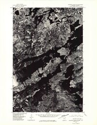
1976 · Basswood Lake SW
USGS Topo · 1:24,000
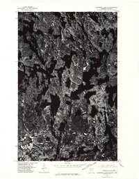
1976 · Basswood Lake NW
USGS Topo · 1:24,000

1977 · Basswood Lake
USGS Topo · 1:100,000