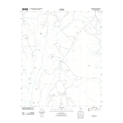
2011 Map of Friendship
USGS Topo · Published 2011About this map
Tabernacle and Friendship serve as the primary focal points of this Marion County landscape, where the coastal plain is defined by an intricate network of wetlands and creeks. The drainage patterns are significant, with Catfish Creek and Mink Creek winding through the terrain toward larger basins like Bull Swamp and Jones Swamp. These water systems create distinct land features such as Dickerson Island and Wahee Neck, which have historically shaped the settlement patterns of the region.
Find a feature on this map
83 named features on this map. Tap any name to fly to it.
Don’t see what you’re looking for? This feature index may not catch every label — zoom into the map to look around manually.
Map Details
Editions of this 2011 Friendship Map
This is the sole edition of this map. No revisions or reprints were ever made.
Other maps of this area

1940 · Florence East
USGS Topo · 1:62,500

1945 · Florence East
USGS Topo · 1:62,500

1946 · Hyman
USGS Topo · 1:62,500

1946 · Johnsonville
USGS Topo · 1:62,500

1946 · Mullins
USGS Topo · 1:24,000

1947 · Friendship
USGS Topo · 1:24,000

1947 · Marion
USGS Topo · 1:24,000

1947 · Centenary
USGS Topo · 1:24,000

1947 · Mullins
USGS Topo · 1:24,000

1949 · Georgetown
USGS Topo · 1:250,000