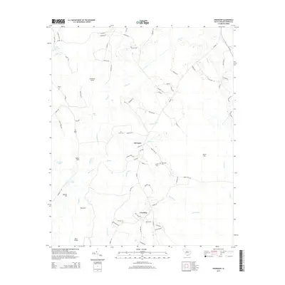
2014 Map of Friendship
USGS Topo · Published 2014About this map
Bull Swamp and the winding reaches of Catfish Creek define the low-lying geography of this Marion County landscape. The small rural settlements of Tabernacle and Friendship serve as local anchors, connected by a network of named country roads and loops. This 2014 survey captures a terrain dominated by hydrologic features, including Upper Ford Lake, Baker Lake, and the long channel of Mink Creek.
Find a feature on this map
80 named features on this map. Tap any name to fly to it.
Don’t see what you’re looking for? This feature index may not catch every label — zoom into the map to look around manually.
Map Details
Editions of this 2014 Friendship Map
This is the sole edition of this map. No revisions or reprints were ever made.
Other maps of this area

1940 · Florence East
USGS Topo · 1:62,500

1945 · Florence East
USGS Topo · 1:62,500

1946 · Hyman
USGS Topo · 1:62,500

1946 · Johnsonville
USGS Topo · 1:62,500

1946 · Mullins
USGS Topo · 1:24,000

1947 · Friendship
USGS Topo · 1:24,000

1947 · Marion
USGS Topo · 1:24,000

1947 · Centenary
USGS Topo · 1:24,000

1947 · Mullins
USGS Topo · 1:24,000

1949 · Georgetown
USGS Topo · 1:250,000