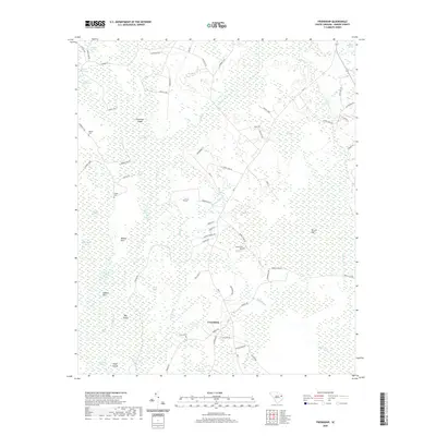
2020 Map of Friendship
USGS Topo · Published 2020About this map
Friendship serves as a central point in this low-lying region of Marion County, where the landscape is defined by an intricate network of wetlands and family-named landmarks. The topography is dominated by expansive swamp systems including Bull Swamp, Jones Swamp, and Wiggins Swamp, interspersed with elevated landforms like Dickerson Island and Heaven Hill. These drainage patterns indicate a history of land use heavily influenced by the seasonal water levels of the surrounding basins.
Find a feature on this map
74 named features on this map. Tap any name to fly to it.
Don’t see what you’re looking for? This feature index may not catch every label — zoom into the map to look around manually.
Map Details
Editions of this 2020 Friendship Map
This is the sole edition of this map. No revisions or reprints were ever made.
Other maps of this area

1940 · Florence East
USGS Topo · 1:62,500

1945 · Florence East
USGS Topo · 1:62,500

1946 · Hyman
USGS Topo · 1:62,500

1946 · Johnsonville
USGS Topo · 1:62,500

1946 · Mullins
USGS Topo · 1:24,000

1947 · Friendship
USGS Topo · 1:24,000

1947 · Marion
USGS Topo · 1:24,000

1947 · Centenary
USGS Topo · 1:24,000

1947 · Mullins
USGS Topo · 1:24,000

1949 · Georgetown
USGS Topo · 1:250,000