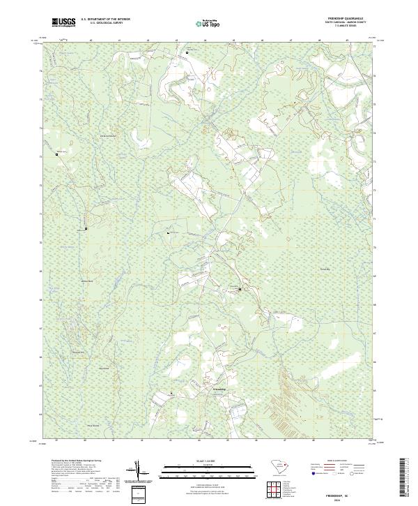
2024 Map of Friendship
USGS Topo · Published 2024About this map
Friendship serves as a central point in this Marion County landscape, where the coastal plain is defined by a dense network of wetlands and family-named landmarks. The terrain is characterized by large, often water-filled depressions like Terrell Bay and intricate drainage systems including Catfish Creek and Mink Creek. This area of South Carolina preserves a significant number of rural burial sites, such as Saint Timothy Cem, Wahee Cem, and Ford Cem, which offer essential points of interest for genealogical research in the region.
Find a feature on this map
85 named features on this map. Tap any name to fly to it.
Don’t see what you’re looking for? This feature index may not catch every label — zoom into the map to look around manually.
Map Details
Editions of this 2024 Friendship Map
This is the sole edition of this map. No revisions or reprints were ever made.
Other maps of this area

1940 · Florence East
USGS Topo · 1:62,500

1945 · Florence East
USGS Topo · 1:62,500

1946 · Hyman
USGS Topo · 1:62,500

1946 · Johnsonville
USGS Topo · 1:62,500

1946 · Mullins
USGS Topo · 1:24,000

1947 · Friendship
USGS Topo · 1:24,000

1947 · Marion
USGS Topo · 1:24,000

1947 · Centenary
USGS Topo · 1:24,000

1947 · Mullins
USGS Topo · 1:24,000

1949 · Georgetown
USGS Topo · 1:250,000