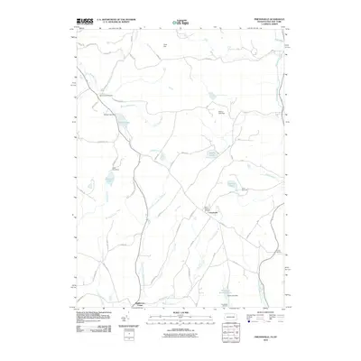
2010 Map of Friendsville
USGS Topo · Published 2010About this map
Friendsville and Middletown Center anchor this rural landscape along the border of New York and Pennsylvania. The area is defined by a network of creeks and small lakes, with the North Branch Wyalusing Creek and Apalachin Creek carving through the terrain near Cork Hill. The presence of Saint Francis Cemetery, Saint Thomas Cemetery, and Stonestreet Cemetery provide valuable geographic markers for genealogists tracing families in this cross-border region. Several water bodies, such as Minkler Lake and Choconut Lake, are regulated by structures like the Minkler Lake Dam and Stone Lake Dam, reflecting the managed hydrology of the local watershed. The map also captures seasonal or organized recreational sites including Camp Arrowhead and Camp Choconut, which sit alongside historic transit corridors like Cork Hill Rd and Canada Rd.
Find a feature on this map
62 named features on this map. Tap any name to fly to it.
Don’t see what you’re looking for? This feature index may not catch every label — zoom into the map to look around manually.
Map Details
Editions of this 2010 Friendsville Map
This is the sole edition of this map. No revisions or reprints were ever made.
Other maps of this area

1901 · Apalachin
USGS Topo · 1:62,500

1904 · Binghamton
USGS Topo · 1:62,500

1904 · Apalachin
USGS Topo · 1:62,500

1906 · Catatonk
USGS Topo · 1:125,000

1935 · Binghamton West
USGS Topo · 1:24,000

1942 · Binghamton West
USGS Topo · 1:31,680

1943 · Montrose
USGS Topo · 1:62,500

1943 · Le Raysville
USGS Topo · 1:62,500

1945 · Montrose
USGS Topo · 1:62,500

1945 · Le Raysville
USGS Topo · 1:62,500