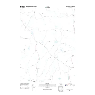
2013 Map of Friendsville
USGS Topo · Published 2013About this map
Friendsville serves as a central hub in this Susquehanna County landscape, where the road network converges near the intersection of Lake St and N Branch St. The area is characterized by a high density of small water bodies and recreational camps, including Camp Arrowhead on the shores of Carmault Lake and Camp Choconut near Choconut Lake. These features, alongside Stanley Lake and Minkler Lake, suggest a long-standing tradition of seasonal residence and outdoor activity in the hills south of the New York border.
Find a feature on this map
68 named features on this map. Tap any name to fly to it.
Don’t see what you’re looking for? This feature index may not catch every label — zoom into the map to look around manually.
Map Details
Editions of this 2013 Friendsville Map
This is the sole edition of this map. No revisions or reprints were ever made.
Other maps of this area

1901 · Apalachin
USGS Topo · 1:62,500

1904 · Binghamton
USGS Topo · 1:62,500

1904 · Apalachin
USGS Topo · 1:62,500

1906 · Catatonk
USGS Topo · 1:125,000

1935 · Binghamton West
USGS Topo · 1:24,000

1942 · Binghamton West
USGS Topo · 1:31,680

1943 · Montrose
USGS Topo · 1:62,500

1943 · Le Raysville
USGS Topo · 1:62,500

1945 · Montrose
USGS Topo · 1:62,500

1945 · Le Raysville
USGS Topo · 1:62,500