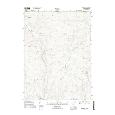
2016 Map of Friendsville
USGS Topo · Published 2016About this map
Friendsville sits at the intersection of several local routes in this modern survey of the Pennsylvania-New York borderlands. The landscape is defined by its water systems, including Apalachin Cr and the Middle Br Wyalusing Cr, which cut through the high ground of Cork Hill. For those researching local ancestry, the map identifies several dedicated burial grounds such as Saint Francis Cem and Saint Thomas Cem, along with the Stonestreet Cem near the southern edge.
Find a feature on this map
66 named features on this map. Tap any name to fly to it.
Don’t see what you’re looking for? This feature index may not catch every label — zoom into the map to look around manually.
Map Details
Editions of this 2016 Friendsville Map
This is the sole edition of this map. No revisions or reprints were ever made.
Other maps of this area

1901 · Apalachin
USGS Topo · 1:62,500

1904 · Binghamton
USGS Topo · 1:62,500

1904 · Apalachin
USGS Topo · 1:62,500

1906 · Catatonk
USGS Topo · 1:125,000

1935 · Binghamton West
USGS Topo · 1:24,000

1942 · Binghamton West
USGS Topo · 1:31,680

1943 · Montrose
USGS Topo · 1:62,500

1943 · Le Raysville
USGS Topo · 1:62,500

1945 · Montrose
USGS Topo · 1:62,500

1945 · Le Raysville
USGS Topo · 1:62,500