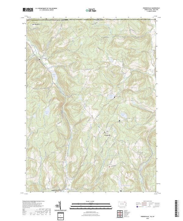
2023 Map of Friendsville
USGS Topo · Published 2023About this map
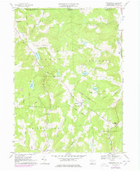
Friendsville sits at the intersection of Main St, Turnpike St, and Binghamton Rd, serving as a central hub in this corner of Susquehanna Co. The landscape is defined by the high ground of Cork Hill and a dense network of watercourses, including Apalachin Creek and the North Branch Wyalusing Creek. The area's spiritual and community history is preserved through several key sites, such as the Quaker Churchyard Cem near Choconut Lake and Saint Francis Cem in the heart of town. To the north and west, smaller settlements like Little Meadows and Middletown Center anchor the rural landscape. This map offers a clear view of the family-named roads and remote water bodies like Carmault Lake and Minkler Lake that characterize this border region near the New York state line.
Find a feature on this map
83 named features on this map. Tap any name to fly to it.
Don’t see what you’re looking for? This feature index may not catch every label — zoom into the map to look around manually.
Map Details
Editions of this 2023 Friendsville Map
This is the sole edition of this map. No revisions or reprints were ever made.