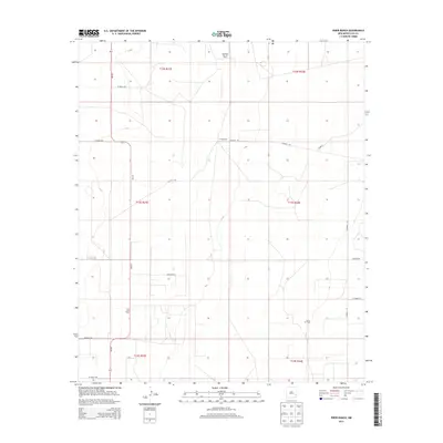
2013 Map of Frier Ranch
USGS Topo · Published 2013About this map
The eponymous Frier Ranch serves as a central landmark in this corner of Lea County, where the landscape is defined by the infrastructure of the energy industry. Large-scale oil production is evident across the terrain, with designated areas such as the Hightower East Oil Field, Lazy J Oil Field, and Cerca Oil Field marking the subterranean wealth of the Permian Basin. This industrial footprint is supported by a grid-like network of rural roads, including NM-457 and several county routes that facilitate movement between remote ranches and drilling sites.
Find a feature on this map
22 named features on this map. Tap any name to fly to it.
Don’t see what you’re looking for? This feature index may not catch every label — zoom into the map to look around manually.
Map Details
Editions of this 2013 Frier Ranch Map
This is the sole edition of this map. No revisions or reprints were ever made.
Other maps of this area

1954 · Brownfield
USGS Topo · 1:250,000

1958 · Brownfield
USGS Topo · 1:250,000

1962 · Brownfield
USGS Topo · 1:250,000

1970 · Simanola Valley
USGS Topo · 1:24,000

1970 · Alston Ranch
USGS Topo · 1:24,000

1970 · Hillburn City SW
USGS Topo · 1:24,000

1973 · Fort Ranch
USGS Topo · 1:24,000

1973 · Soldier Hill
USGS Topo · 1:24,000

1973 · Cooper-Good Ranch
USGS Topo · 1:24,000

1973 · Dean Ranch
USGS Topo · 1:24,000