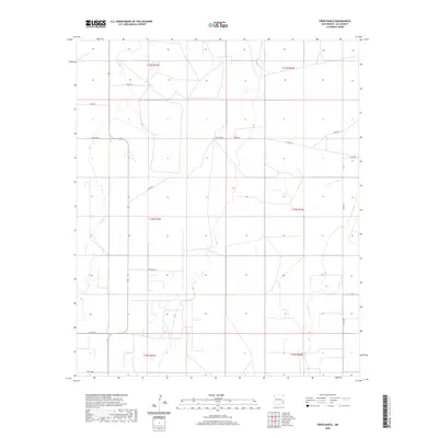
2020 Map of Frier Ranch
USGS Topo · Published 2020About this map
Frier Ranch serves as the primary landmark in this section of Lea County, where the landscape is defined by the expansive Public Land Survey System grid. This 2020 map illustrates a sparse network of county and ranch roads that provide access across several township boundaries, including t13s r33e and t13s r34e. The layout of local routes like Coyote Ln, White Ln, and Arnspiger Ln reflects the enduring nature of property lines and ranching operations in this high plains environment. While few structures are named, the map meticulously records the essential infrastructure of the modern West, from designated county roads like Co Rd 152 to the numbered routes T-149 and T-147, which trace the remote character of the territory during the early twenty-first century.
Find a feature on this map
19 named features on this map. Tap any name to fly to it.
Don’t see what you’re looking for? This feature index may not catch every label — zoom into the map to look around manually.
Map Details
Editions of this 2020 Frier Ranch Map
This is the sole edition of this map. No revisions or reprints were ever made.
Other maps of this area

1954 · Brownfield
USGS Topo · 1:250,000

1958 · Brownfield
USGS Topo · 1:250,000

1962 · Brownfield
USGS Topo · 1:250,000

1970 · Simanola Valley
USGS Topo · 1:24,000

1970 · Alston Ranch
USGS Topo · 1:24,000

1970 · Hillburn City SW
USGS Topo · 1:24,000

1973 · Fort Ranch
USGS Topo · 1:24,000

1973 · Soldier Hill
USGS Topo · 1:24,000

1973 · Cooper-Good Ranch
USGS Topo · 1:24,000

1973 · Dean Ranch
USGS Topo · 1:24,000